Navigatiesoftware
WinGPS 6 en WinGPS Inland voor op uw Windows-PC, -tablet of navigatielaptop.
WinGPS Marine voor uw Android-tablet of -smartphone en iPad of iPhone.

Klik op één van de onderstaande blokken om de producten per categorie te bekijken.
WinGPS 6
(Windows)
WinGPS Marine
(Android)


Complete oplossingen
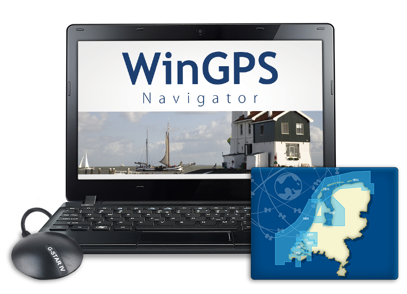


Overig


Alle producten in deze lijst:
https://stentec.com/shop/images/imray/C53.jpg

Imray C53 - Donegal Bay to Rathlin Islands

Watervaste jachtkaart in plastic hoes.
  
Medium:  folio
Levertijd:  1 week
  
Prijs:  € 42,95
 
1:200,000 WGS 84
Imray


Plans included:

  • Portrush
  • Lough Swilly
  • Mulroy Bay
  • Sheep Haven
  • Gweedore Harbour & Approaches
  • Sound of Aran & Burtonport
  • Teelin Harbour
  • Killybegs Harbour
  • Mullaghmore Bay

    Updated throughout and latest survey data applied. Depths updated in Mulroy Bay; New coastline and depths shown on Killybegs Hbr plan; Teelin Hbr and Killybegs Hbr plans adjusted to improve WGS 84 positional accuracy.

  • Meer informatie:  
    Door het omruilsysteeem van Imray is in onze winkels altijd de meest recente editie aanwezig. Zie ook het overzicht van West Europa.

    Productspecificaties

    Art.nr.:  3353
    Uitgever:  Imray
    Talen:  Engels
    Regio:  Noordzee

    winkelwagen
    winkelwagen is leeg
    bekijk winkelwagen!