home / shop
| Bestel nu uw DKW-kaarten voor 2026 Zoals onze nieuwe DKW 1600+ Noordzeekust NL, of de populaire DKW 1800-serie en DKW Vaarkaart Nederland! | 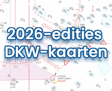 |
| Premium Abonnement 2026 Ontvang in 2026 de nieuwste WinGPS 6 inclusief alle updates, exclusieve kortingen én premium helpdeskondersteuning. | |

Wij accepteren betalingen via:
  |
  |
  |
  |